
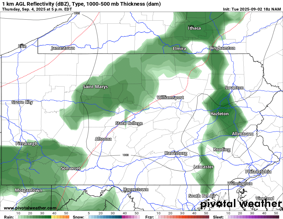

It feels rather uncommon for us to say “we need the rain”. Actually, we do need some rain. Although June and July were both near to slightly above average with precipitation, August fell way below average.
September is not expected to be above average in the precipitation department either, but we do have some rain chances on the way. First off, a cold front, in Image 1, will be moving in from the west, which will enhance our lift for rain and storms. Dew points in the 50s and 60s should support a chance of at least scattered rain showers and perhaps a thunderstorm.

Image 2: Storm Prediction Center’s (SPC) Day 3 Outlook for Thursday.
It should not feel too uncommon to see a chance of severe weather into September; however, strong thunderstorms will be possible Thursday afternoon into the evening as well. Gusty winds will be the main threat and are highlighted in Image 2, where a Marginal Risk or 1/5 risk is in place for portions of Central Pennsylvania. Further east, limited lift and instability is expected to prohibit a more widespread threat.
Keep an eye out for more updates and be sure to follow NEPA WEATHER ACADEMY on Facebook for more!
by Meteorologist Mike Javer 09/02/2025 @ 5:05 PM EDT
a
cfvI