
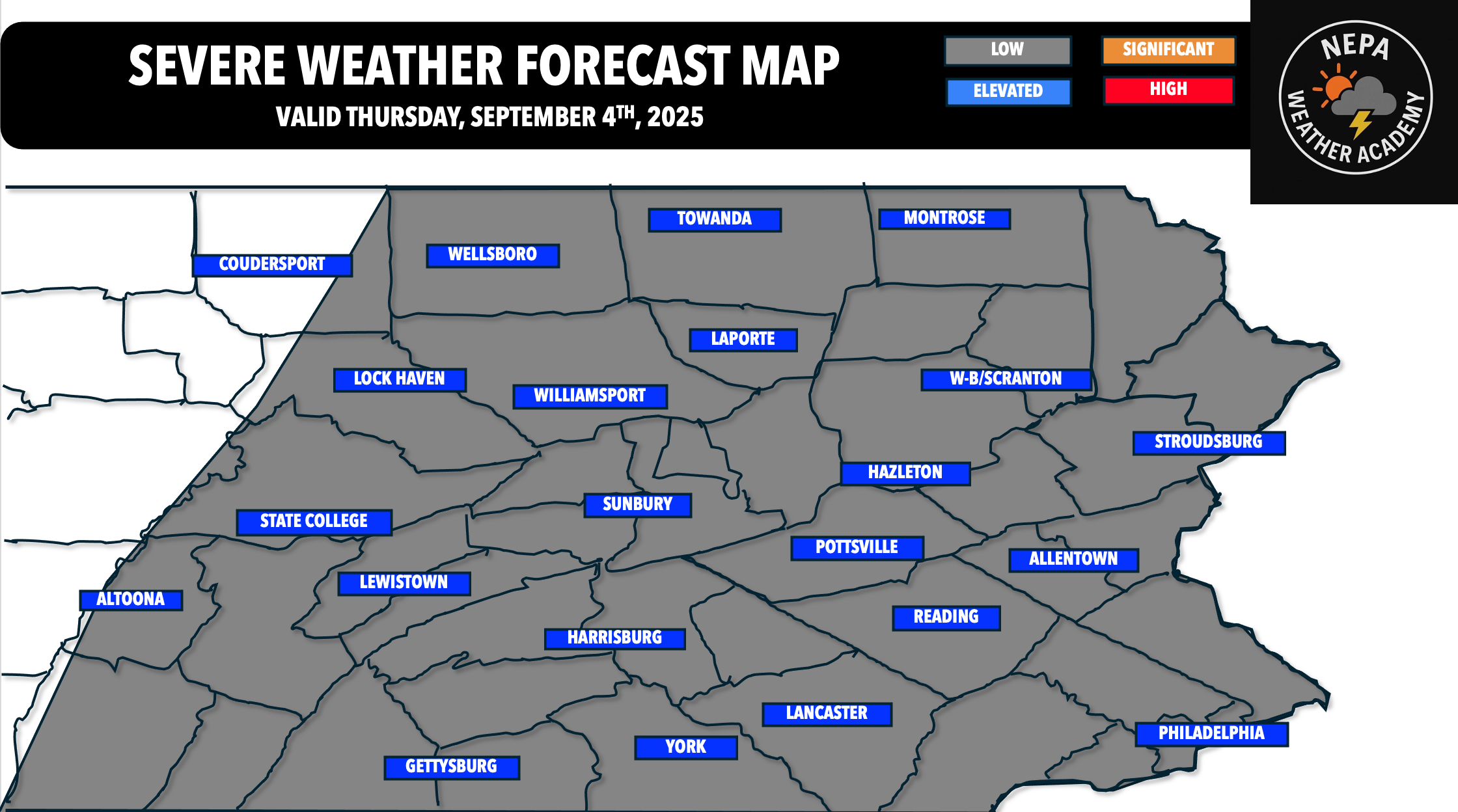
Severe thunderstorms might be back in the forecast for your Thursday. It’s been a while since we’ve seen a major severe weather threat across the Commonwealth, but I am not expecting a paramount threat across the region tomorrow.
A trailing cold front from the west will bring in that extra lift for scattered thunderstorms tomorrow afternoon. However, a lingering line of showers and possibly a thunderstorm will rumble through in the morning tomorrow.

Image: HRRR Radar Guess at 12 PM EDT tomorrow afternoon.
It is very possible for this broken line of showers to completely remove the severe threat tomorrow. Given instability will be low, but shear will be high, any storm that develops has a chance to live longer amid that stronger shear. Progressing further into the day, here is the HRRR radar guess for 4 PM Thursday afternoon.

Image: HRRR Radar Guess at 4 PM EDT Thursday afternoon.
Showers and extensive cloud cover may continue to prohibit a higher chance of severe weather, but there is evidence on the HRRR to see a few stronger cells in the afternoon and evening hours tomorrow. This threat will remain isolated to scattered for the most part. The best part is that, although the severe threat will be low, the rain will be beneficial. Anywhere from 0.25-1″ is expected region-wide, with areas near an inch seeing heavier thunderstorms.
OFFICIAL NEPA WEATHER ACADEMY FORECAST FOR TOMORROW AFTERNOON/EVENING

BEST TIMING: 2-8 PM TOMORROW AFTERNOON/EVENING
DAMAGING WINDS (UP TO 55-60 MPH) AS THE MAIN THREAT
“LOW RISK ZONE” – Isolated strong to severe thunderstorms possible. The main threat(s) will be gusty winds 45-60 MPH with the strongest storms from 2-8 PM tomorrow afternoon and evening.
Uploaded by Meteorologist Mike Javer, Owner NEPA WEATHER ACADEMY, @ 5:15 PM EDT 9/3/2025